Vodafone’s National Digital Twin
Telecommunications companies have a vast network of cell towers – or mobile masts – and antennas to maintain connectivity and with evolving technology along with the regular deterioration of infrastructure, new mobile masts need to be constructed and existing ones adjusted. The process of keeping these networks alive and growing them to keep up with ever-improving technology is easier said than done, and it’s a constant process with increasing urbanization bringing more potential interruptions to networks.
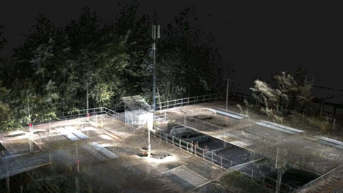
Vodafone, one of the largest telecom companies in Europe, is working to make this process more efficient for its engineers, getting an assist from Esri UK’s GIS software and expertise. Working specifically in the UK, Vodafone created a national digital twin of its entire mobile mast network throughout the country, giving its engineers an interactive and accurate 3D model which can be used to strategize how it can improve existing networks and expand its network to better serve their customers, all without having to physically go out to the sites of these mobile masts.
Creation of National Digital Twin
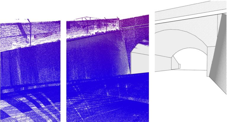
The creation of this digital twin required a vast amount of data, leading Vodafone to turn to Esri’s ArcGIS Enterprise platform, which “combines web mapping, image exploitation, real-time data handling, large-volume batch analysis, and spatial data science.” In order to create the model, Vodafone used satellite data to map the entire terrain, focusing on matching the dimensions of buildings and other potential barriers to service. Vodafone’s GIS Lead, Dr Rebecca King, said in a press statement about the use of ArcGIS Enterprise, “Using ArcGIS Enterprise has allowed us to add the spatial dimension to a lot of data we were already working with, resulting in new levels of location intelligence.”
Purpose of the created digital twin
As a result, the company’s engineers now have a tool with which they can make informed decisions on how to best adjust the company’s network. The national digital twin provides Vodafone’s team with accurate knowledge of where things like buildings, hills, valleys, and trees are precisely located, all of which can interrupt or slow down connection between masts. With this knowledge, the company can more efficiently plan where to position new mobile sites for maximum connection, as well as identifying areas where upgrades or repositioning may be necessary. As an added benefit, the company also reduces its carbon footprint by not requiring physical site visits to make these decisions. With the expected proliferation of 5G in our cellular network, assistance with these kinds of decisions is all the more important.
Summary
Vodafone, one of the largest telecommunications companies in Europe, has created a national digital twin of its entire mobile mast network in the UK. The digital twin, created with the assistance of Esri UK’s GIS software and expertise, is an interactive and accurate 3D model that can be used to strategize how to improve existing networks and expand the network to better serve customers. This innovative solution is an example of how technology can be used to improve the efficiency of a complex process, and how GIS technology is a powerful tool for telecommunications companies.